Topographic surveys
Rapid capture of land levels, slopes, boundaries, drainage features, tracks, structures and site detail.
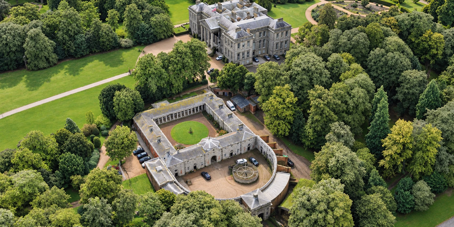
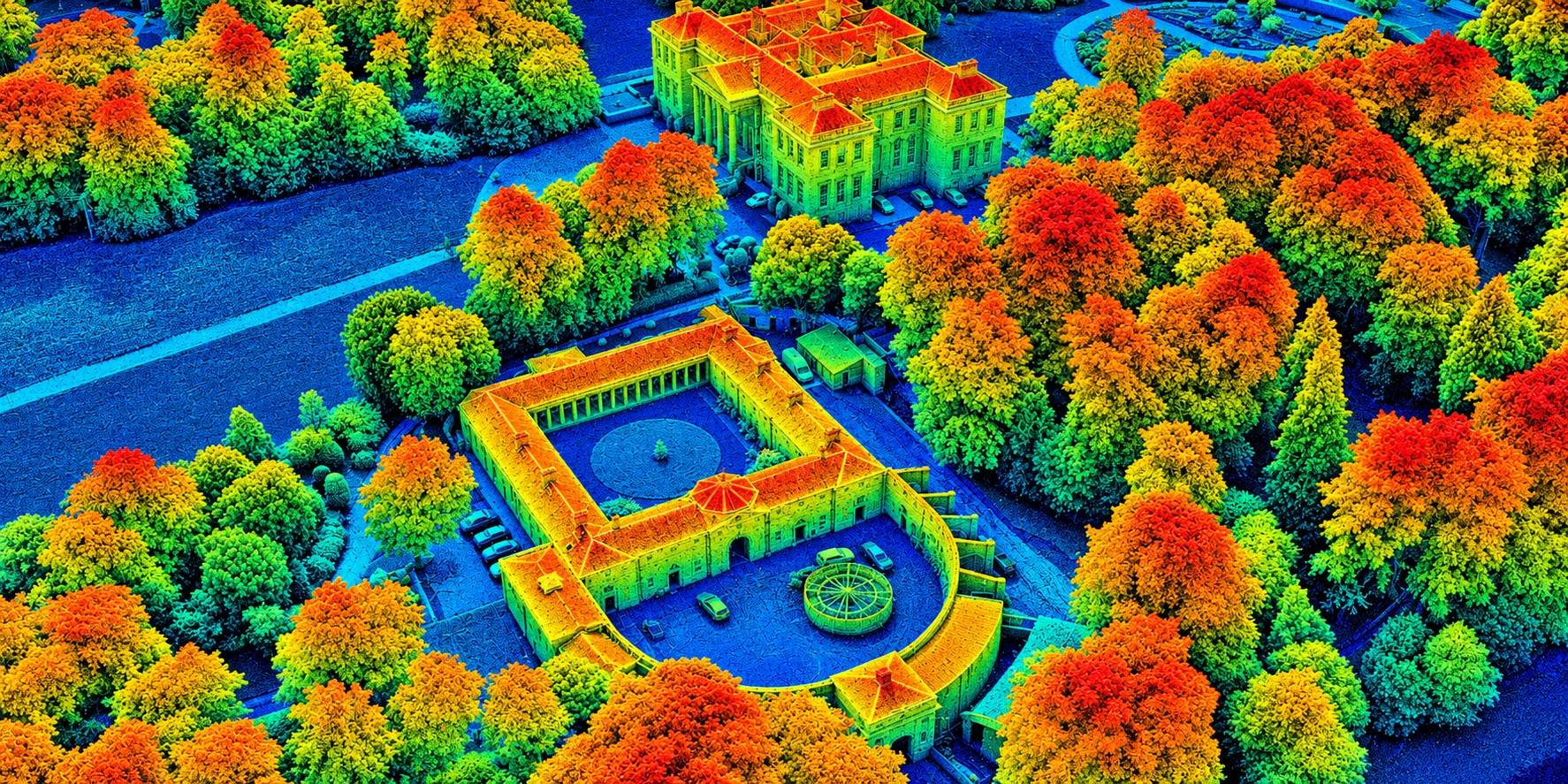
High-detail aerial LiDAR surveys for events, land, construction, infrastructure, forestry and complex terrain — captured quickly and delivered in the formats your team already uses.
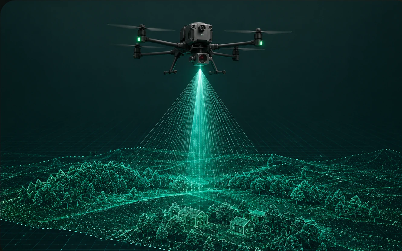
LiDAR captures dense three-dimensional data across large or inaccessible areas. It is particularly effective where vegetation, uneven ground, steep slopes, stockpiles, embankments or complex structures make traditional survey methods slower or less practical.
From an initial site scan to processed models and CAD-ready outputs, each survey is tailored to the required use, accuracy and coordinate system.
Rapid capture of land levels, slopes, boundaries, drainage features, tracks, structures and site detail.
Classified point clouds and bare-earth terrain models for wooded, overgrown and difficult-to-access sites.
Efficient measurement of aggregate, earthworks, cut-and-fill areas, quarry faces and material movement.
Repeatable site capture for progress records, change monitoring, earthworks verification and reporting.
Corridors, roads, utilities, embankments, drainage, rail-adjacent areas and linear assets.
Accurate digital records for estates, farms, woodland, development land and environmental management.
We work with surveyors, engineers, landowners, architects, planners, contractors and asset managers.
Outputs can be supplied individually or as a complete survey package, aligned to your preferred coordinate system and workflow.
Share a plan, postcode, boundary or approximate area.
We confirm access, outputs, accuracy and timescale.
Data is captured safely and efficiently on site.
Point cloud, terrain and requested outputs are produced.
Files are supplied securely, ready for your workflow.
For the quickest response, include the location, approximate area, required outputs and any deadline.